
Tag: Govt Launches
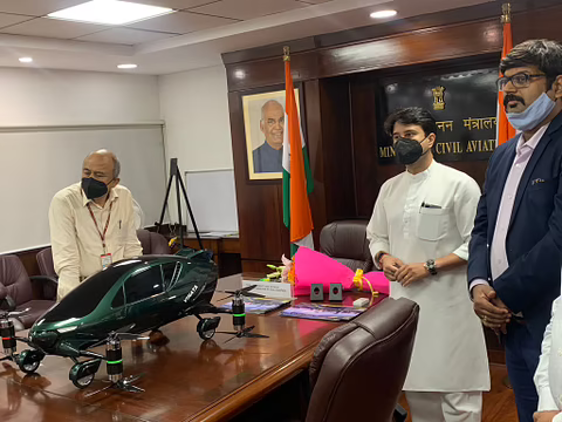
Photo: Swarajyamag
Govt Launches ‘Airspace Map Of India’ To Check Flying Zones For Drone Operations
The Ministry of Civil Aviation has launched a new airspace map for drone operations in order to allow civilian drone operators to assess the demarcated no-fly zones and go through specific formalities prior to flying a drone. The MapMyIndia and IT services company Happiest Minds… Read More